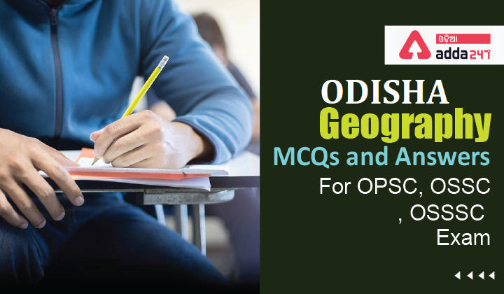
Geography MCQs and Answers: Geography MCQs are very important for OPSC, OSSC, OSSSC & Other State Exams. Aspirants who are willing to apply for the various Government exams in 2022 must go through the topics of Geography for competitive exams, as Geography is a key part of the syllabus.
Download ADDA247 Odia APP – Appear Latest Exam Test Series & Live Classes
Q1. Indravati, Pranhita and Sabari are important tributaries of which of these rivers?
(a) Krishna
(b) Cauvery
(c) Sabarmati
(d) Godavari
S1. Ans.(d)
Sol. Downstream of the Sriram Sagar dam, Godavari is joined by many major tributaries, namely, Pranhita, Indravati and Sabari which carry large volumes of flood water during monsoon.
Q2. Which of the following food crops is produced maximum in India?
(a) Maize
(b) Rice
(c) Wheat
(d) Jowar
S2. Ans.(b)
Sol. Rice is the dominant crop of India; wheat comes second both in terms of total production and the area under cultivation. Rice occupies 23.3 percent of gross cropped area of the country and contributes 43 per cent of total food grain production. It is the staple food of the people of the eastern and southern parts of the country. Besides, India accounts for 20% of all world rice production.
Q3. Which of the following places receive minimum rainfall?
(a) Leh
(b) Bikaner
(c) Indore
(d) Jaipur
S3. Ans.(a)
Sol. Average annual rainfall of Leh is only 102 mm (4.02 inches). The annual rainfall pattern in other places is as follows: Bikaner: 260 – 440 millimetres (10 – 17 in); Jaipur: over 650 millimetres (26 in).
Q4. Panna National Park is situated in which of the following Indian state/UT?
(a) Madhya Pradesh
(b) Assam
(c) Odisha
(d) Himachal Pradesh
S4. Ans.(a)
Sol. Panna National Park is a national park located in Panna and Chhatarpur districts of Madhya Pradesh in India. It has an area of 542.67 km2 (209.53 sq mi).
Q5. Cheruthoni Dam is in which of the following state?
(a) Karnataka
(b) Tamil Nadu
(c) Kerala
(d) Maharashtra
S5. Ans.(c)
Sol. Cheruthoni Dam is the largest concrete gravity dam in Kerala, is located close to Idukki arch dam. It is the third highest dam in India with a 454 feet-high across River Cheruthoni.
Q6. Which is the deepest trench (steep depression in ocean) in the world?
(a) Sean trench
(b) Mariana trench
(c) Arabic trench
(d) Cism trench
S6. Ans (b)
Sol. The Mariana Trench or Marianas Trench is the deepest part of the world’s oceans. It is located in the western Pacific Ocean.
Q7. The place Sabarimala is situated in which of the following states?
(a) Andhra Pradesh.
(b) Tamilnadu.
(c) Kerala.
(d) Karnataka.
S7. (C)
Sol. Sabarimala is a pilgrimage centre in Kerala.It is located in western ghats near Periyar tiger reserve.

Q8. The study of lakes is called?
(a) Limnology.
(b) Potomology.
(c) Topology.
(d) Hydrology.
S8. (a)
Sol. The study of inland fresh waters whether of standing bodies like lakes or dynamic bodies like rivers along with their drainage basins is termed as Limnology.
Q9. The huge deposit of uranium are found recently in?
(a) Andhra Pradesh.
(b) Karnataka.
(c) Kerala.
(d)tamilnadu.
S9. (a)
Sol.Tummalapalle of Andhra Pradesh has one of the largest uranium reserves of the world. This report was concluded by atomic energy commission of India after conducting the research in 2011.
Q10. The coastline formed by the submergence of mountain ridges running parallel to the coast is known as?
(a) Ria coast.
(b) Fiord coast.
(c) Haff coast.
(d) Damnation coast.
S10. (d)
Sol.
A Dalmatian coastline is formed where the geology creates valleys parallel to the coast so that when sea level rises , a series of elongated Islands remain offshore.
Q11. Sargasso sea is located in?
(a) Atlantic Ocean.
(b) Pacific Ocean.
(c) Indian Ocean.
(d) None of these.
S11. (a)
Sol.
The sargasso sea, located entirely within the Atlantic Ocean , is the only sea without a land boundary. Mats of free – floating sargassum a common seaweed foud in the sargasso sea.
Q12. In geography ‘Gulf Stream’ refers to
(a) A warm ocean current
(b) Strong air current
(c) Streams joining a gulf
(d) The name of a stream
S12. Ans.(a)
Sol. The Gulf Stream is a warm and swift Atlantic Ocean current that originates in the Gulf of Mexico and stretches to the tip of Florida, and follows the eastern coastlines of the United States and Newfoundland before crossing the Atlantic Ocean.
Q13. The natural habitat of Rhinoceros in India is –
(a) Bharatpur
(b) Gir forest
(c) Kaziranga
(d) Nilgiris
S13. Ans.(c)
Sol.Kaziranga National Park is a national park in the Golaghat and Nagaon districts of the state of Assam, India. The sanctuary, which hosts two-thirds of the world’s great one-horned rhinoceroses, is World Heritage Site.
Q14. India shares longest international boundary with which country?
(a) Bangladesh
(b) China
(c) Nepal
(d) Bhutan
S14. Ans.(a)
Sol. India share 4,096 km long international border with Bangladesh. India shares longest border with Bangladesh
Q15. Which is largest peninsular river in India?
(a) Krishna
(b) Godavari
(c) Cauvery
(d) Mahanadi
S15. Ans.(b)
Sol. The godavari river is the largest river of south India, it has length of 1465 Kilometers, it originates from Triambakeshwar in Maharashtra.
History MCQs and Answers For Odisha Exam
Reasoning MCQs and Answers For Odisha Exam
English MCQs and Answers For Odisha Exam