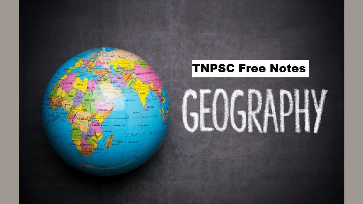
இந்தக் கட்டுரையில், TNPSC குரூப் 1, குரூப் 2, குரூப் 2A, குரூப் 4 மாநிலப் போட்டித் தேர்வுகளான TNUSRB, TRB, TET, TNEB போன்றவற்றுக்கான முறைகள் இலவசக் குறிப்புகளைப் பெறுவீர்கள்.தேர்வுக்கு தயாராவோர் இங்குள்ள பாடக்குறிப்புகளை படித்து பயன்பெற வாழ்த்துகிறோம்.
Lithosphere and Atmosphere
Interior of the Earth
Earth’s Interior is divided into three layers namely
1. Crust
2. Mantle
3. Core.
The Crust
The crust is the outermost layer of the earth.
It is divided into continental and oceanic crust.
The major elements of crust are SIAL – Silica (Si) and Aluminium (Al) and SIMA – Silica (Si)
and Magnesium (Mg).
Continental Crust is made up of SIAL and Oceanic Crust is made up of SIMA
Since SIAL is lighter than SIMA, the continents can be said to be ‘floating’ on a sea of
denser SIMA.
The Mantle
The next layer beneath the crust is called the mantle.
In the upper part of the mantle, the rock remains solid, whereas in the lower part of the
mantle, rocks are in molten form. This molten rock inside the Earth is called ‘magma’.
It is separated from the crust by a boundary called Moho discontinuity.
The Core
The innermost and hottest layer of the earth is called the core.
It is also known as barysphere.
It is separated from the mantle by a boundary called Gutenberg discontinuity.
It is composed mainly of Nickel (Ni) and Iron (Fe). Hence it is called NIFE
The presence of large quantities of iron in the core is responsible for the Earth’s
gravitational force.
The Earth Movements
The radius of the earth is 6371 km.
The lithosphere is broken into a number of plates known as the Lithospheric plates.
The earth movements are divided on the basis of the forces which cause them.
1. The forces which act in the interior of the earth are called as Endogenic forces.
2. The forces that work on the surface of the earth are called as Exogenic forces.
Endogenic forces sometimes produce sudden movements and at the other times
produce slow movements.
Sudden movements like earthquakes and volcanoes cause mass destruction over the
surface of the earth.
Earthquake
Earthquakes are generally caused by the sudden vibrations in the Earth’s crust, which
spreads outward in all directions as waves from the source of disturbance.
The point of origin of an Earthquake is called ‘Focus’ (Hypocenter) which generates a
series of elastic waves.
‘Epicentre’ is a point on the Earth’s surface that lies directly above the focus.
The impact of the Earthquake is felt the most at the epicentre.
Seismic Waves
Earthquakes generate seismic waves.
Primary or P-waves
They are the fastest of all the Earthquake waves and the first to reach the epicentre.
These waves pass through solids, liquids and gases, either through push or pull with an
average velocity of 5.3km per second to 10.6 km per second.
C.F. Richter devised a scale to measure the magnitude of Earthquakes.
This scale relates to the energy released at the epicentre and provides an estimation of
the severity of an Earthquake.
It is an open ended scale.
Secondary or S-waves
They travel only through solids.
These transverse waves shake the ground perpendicular to the direction in which they
propagate.
The average velocity of these waves is 1Km per second to 8 km per second.
Surface Waves (or) L-waves
They are similar to P-waves but they travel primarily along the ground surface.
These waves travel comparatively slower and are he most destructive waves.
Average velocity of these waves, are 1 km per second to 5 km per second.
The instrument which records the Earthquake waves is called ‘seismograph’ or
‘seismometer’.
The science that deals with Earthquakes is called ‘seismology’.
Tsunami
The word ‘Tsunami’ is a Japanese term, meaning harbour waves.
It is adopted to describe large seismically generated sea waves caused by Earthquakes,
submarine explosions and landslides. These waves reach to a height of more than 15 m
near the sea shore.
The 2004 Indian Ocean Earthquake that caused tsunami is the sixth-deadliest natural
disaster
Rocks
Classification of Rocks
Igneous Rocks
Sedimentary Rocks and
Metamorphic Rocks
Igneous Rocks
Formed by the solidification of molten magma.
These rocks are also called as the ‘Primary Rocks’ or ‘Parent Rocks’ as all other rocks are
formed from these rocks.
The word Igneous is derived from the Latin word ‘Ignis’ means ‘fire’
Characteristics of Igneous Rocks
These rocks are hard in nature
These are impermeable
They do not contain fossils
Types of Igneous Rocks
Igneous Rocks are of two types. They are:
Extrusive Igneous Rocks
After reaching the earth surface the molten materials get solidified and form rocks.
Rocks formed in such a way on the crust are called Extrusive igneous rocks.
Intrusive Igneous Rocks
The molten magma sometimes cools down deep inside the earth’s crust and becomes
solid. The Rocks formed this way is called ‘Intrusive Igneous Rocks’.
Intrusive Igneous rocks two types.
1. ‘Plutonic rocks’ and
2. ‘Hypabysal rocks’
Sedimentary Rocks
The word ‘Sedimentary’ has been derived from Latin word ‘Sedimentum’ means settling
down
Due to high temperature and pressure, the undisturbed sediments of long period
cemented to form sedimentary rocks.
Types of Sedimentary Rocks
Organic Sedimentary Rocks
Mechanical Sedimentary Rocks
Chemical Sedimentary rocks
Metamorphic Rocks
The word Metamorphic is derived from two Greek words “Meta” and “Morpha”.
Metamorphism: two types.
Rock cycle
The rocks of the earth crust keeps on changing from one form to another form under various
natural forces and agents. The endless process is referred as Rock Cycle.
Volcanoes
A volcano is an opening in the earth’s crust through which magma, gases and ash are
released to the earth’s surface.
Vent: opening or mouth of a volcano.
Fumaroles: the gushing fumes through the gap in the volcano.
Saucer: shaped depression in the mouth of a volcano.
Crater: saucer shaped depression in the mouth of a volcano.
Caldera: When the crater is widened,
Pumice: volcanic rock produced when lava with a very high content of water
Causes of Volcanic Eruptions:
Weak zones in the earth crust
Example, African and Eurasian plates.
Magma saturated with Gases
Magma is forced out as lava on the surface of the earth due to the pressure exerted by these
gases.
Types of Volcanoes
Active Volcano
Dormant Volcano
Extinct Volcano
Active Volcano: Volcanoes which erupt frequently
Mount St. Helens – the United States.
Mount Etna of Italy
Cotopaxi in Ecuador
Dormant Volcano: there is a possibility of eruption at any time.
Mt. Fuji, Japan
Mt. Vesuvius of Italy
Extinct Volcano or dead volcano
Mt. Kilimanjaro, Tanzania
Popa in Myanmar
Mt. Kenya in eastern Africa
Volcanoes Shapes:
Composite volcano also called Strata volcano
Many layers of hardened lava, pumice and volcanic ash
Example: Mt. Fuji, Japan
Dome volcano: Circular mound formed
Example: Parícutin, Mexico
Shield volcano: By Intense Viscous Lava
Shallow Depositions with gently sloping sides
example: Mauna Loa, Hawaii
World Distribution of Volcanoes
Pacific Ring of Fire
Mid Atlantic Region
Volcanoes in India
No Volcanoes in the Himalayan region of India
Barren Island, (135 km north-east of Port Blair) 1991 and 1995
Probably Extinct – Narcondam (Andaman and Nicobar Islands)
Components of Atmosphere
Atmosphere is a mixture of many gases, steam, and other particles.
The major components are nitrogen (78%), oxygen (21%) and other gases (1%) Argon,
Carbon dioxide, Neon and the other gases found in the atmosphere
Troposphere
Stratosphere
Mesosphere
Thermosphere
Exosphere
Troposphere
It extends approximately to a height of 8 km from the poles and 18 km from the
equator.
All weather phenomena occur in this layer as it has dust particles and water vapour.
This layer has clouds which produce precipitation on the earth.
Lapse Rate of Temperature: The temperature decreases in the troposphere with
increase in altitude at the rate of 1°C for 165 metre or 6.5 °C for every 1000 metres of
ascent.
This is the densest Layer as it contains 70 to 80% of gases
The outer boundary of the troposphere is called tropopause, which is about 1.5 km
thick.
Stratosphere
It approximately extends up to a height of 50 km from the earth’s surface.
Temperature is nearly -4°C
The lower part of this layer is highly concentrated with ozone gas which is called as
‘ozonosphere’.
Mesosphere
It approximately extends up to a height of 85 km above the surface of the earth.
This is Coldest Layer of the atmosphere.
Its upper boundary is called mesopause where temperature reaches 90°C.
Luminous noctilucent clouds form here due to the presence of cosmic dust.
Meteors falling from the space get burned in this layer.
Thermosphere
Discovered by Hennelly and Heaviside
It approximately extends up to a height of 400 km
The temperature increases rapidly up to 1,000˚C
Ionosphere: These ionised particles create auroras at higher latitudes.
Ionosphere can reflect radio waves back to the earth.
This facilitates long distance wireless satellite communication
The charged particles forming the lower part of the thermosphere as a zone, is called
Ionosphere.
Exosphere
It extends into the outer space from above 400 km up to 1600km.
It contains oxygen and hydrogen atoms
Temperature ranges as high as 165 °C
Gravitational pull is minimal in this layer
This layer gradually merges with the space
Ozone Hole
Ozone Depletion: A steady decline in the concentration of ozone in the earth’s
stratosphere is called ozone depletion
The very low winter temperatures in the Antarctic stratosphere cause polar
stratospheric clouds (PSCs) to form.
Polar stratospheric clouds
On October 2, 2015, the ozone hole was recorded to its maximum size of 28.2 million
sq.km over Antarctica
The ozone holes over Antarctica allow the ultraviolet radiation to enter and cause of
global warming, skin cancer, eye cataract and even blindness
The Dobson Unit (DU) is the unit of measurement for total ozone
Temperature of Atmosphere
Terrestrial radiation
The solar radiation reflected by the earth’s surface is called ‘Terrestrial radiation’.
Terrestrial radiation supplies more heat energy to the atmosphere due to its long
wavelength
Conduction:
The heat energy from the earth’s surface is transferred to the lower atmosphere which is
directly in contact with the surface by the process of conduction.
Convection and advection
The movement of air molecules in vertical and horizontal direction is called as ‘convection and
advection’ respectively.
Annual Temperature: The average annual temperature of a region for a year.
Mean Annual Temperature: The average of 30 years of annual temperature of the
region.
Range of Temperature: Difference between highest and lowest temperature of a place.
Annual Range of Temperature: The difference between highest and lowest temperature
of a place in a year.
Diurnal range of Temperature: The difference between highest temperature and lowest
temperature of a place in a day.
Green House Effect:
The longer wavelengths are absorbed by greenhouse gases in the atmosphere, increases
the temperature of the atmosphere.
These greenhouse gases act like a green house and retains some of the heat energy
would otherwise be lost to space.
The retaining of heat energy by the atmosphere is called the ‘greenhouse effect’
Global Warming
Global warming is observed in a centuryscale.
The temperature increase over the years has been due to the greenhouse gas
concentration such as carbon dioxide (CO2), water vapour, methane and ozone.
Urban Heat Island (UHI)
An urban heat island is an urban area or metropolitan area that is significantly warmer
than its surrounding rural area.
Ocean is dominant in the southern hemisphere between the latitudes 40º S and 60º S.
Hence the westerlies are so powerful and persistent that the sailors used such
expressions as “Roaring Forties”,“Furious Fifties”and “Screaming or Shrieking Sixties”for
these high velocity winds in the latitudes of 40º, 50º and 60º respectively
Tertiary Winds
The tertiary winds are formed due to pressure gradients which may develop on a local
scale because of differences in the heating and cooling of the earth’s surface.
Some of the important tertiary winds:
Foehn (Alps-Europe)
Sirocco (North coast of Africa)
Chinook (Rockies-North America)
Loo (Thar Desert- India)
Mistral (Mediterranean Sea in France)
Bora (Mediterranean Sea in Italy)
Humidity
The maximum amount of moisture that can be hold by the air in the particular
temperature is called as Humidity Capacity.
Humidity capacity increases with temperature.
Absolute Humidity
This measures the total amount of water vapour present in the air at particular time.
Relative Humidity
This is controlled by both temperature and moisture content of the air.
The condition is that when the temperature increases RH% decreases but when
absolute humidity increases RH% increases.
Process of Condensation
Condensation is the change of the physical state of water vapour (gas state) into water (liquid
state).
Clouds
High clouds
Middle clouds
Low clouds
High clouds
Cirrus
Height is 8000 meters to 12000 meters
have Ice crystals and are dry
Do not give rainfall
Cirro-cumulus
Have the White patched, sheet or layer like clouds
composed of ice crystals
Cirro-stratus
Smooth milky transparent whitish clouds composed of tiny ice crystals
Middle clouds
Alto-stratus
Thin sheets of grey or blue coloured clouds
Frozen water droplets
Alto-cumulus
Sheep clouds or wool pack clouds
Nimbo stratus
dark colour
very close to the ground surface
Associated with rain, snow or sleet.
Low clouds
Strato-cumulus
2500 meters to 3000 meters high in grey and white circular circles.
Low clouds are called ‘mass clouds’.
Clear weather conditions
Stratus
Dense, low lying fog-like clouds, Low clouds
associated with rain or snow
Cumulus
Dome-shaped with a flat base and Resembling a cauliflower
Associated with fair weather
Cumulo-nimbus
Fluffy thick towering thunderstorm cloud
capable of producing heavy rain, snow, hailstorm or tornadoes
Fog, Mist and Smog
Fog
Microscopic droplets of water
Reduce the visibility to less than 1 km.
common in the areas near to the ocean
Mist
If the fog has higher visibility due to lesser water drops near the surface it is termed as ‘mist’
Smog
It mixes with the pollutants and turns into smog (smoke + fog = smog) which is more
hazardous to the health of the people
Precipitation
Falling down of condensed water vapour in different forms is called Precipitation.
When the dew point is reached in the cloud water droplets become saturated and start
to fall. Hence, they fall on the earth as Precipitation.
Forms of Precipitation
Drizzle
Falling of numerous uniform minute droplets of water with diameter of less than 0.5 mm is
called drizzle from low clouds.
Rain
The diameter of a rain drop is more than 0.5mm.
Sleet
Sleet refers to a precipitation, in the form of pellets made up of transparent and translucent ice.
Snow
Snow is formed when condensation occurs below freezing point.
It is the precipitation of opaque and semi opaque ice crystals.
Hails
Hails are chunks of ice (greater than 2cm in diameter) falling from the sky, during a
rainstorm or thunderstorm
Types of Precipitation (Rainfall)
Convectional rainfall
Frontal or cyclonic rainfall
Orographic rainfall.
Convectional rainfall or 4’o’ Clock rainfall
Earth surface is intensely heated through solar radiation during the day time.
When the air near the earth surface is heated, it rises and expands. This heating results,
is the formation of convectional air currents.
Thus the ascending moist air cools, condenses and results in convectional rainfall.
Convectional rainfall occurs regularly in the equatorial region in the evenings.
Cyclonic rainfall (or) Frontal
Cyclonic precipitation occurs during cyclones when air masses are made to converge
and move upward so that adiabatic cooling occurs.
When warm and cold air masses converge, condensation and precipitation takes place
on the boundary between warm and cold air masses called as Frontal rainfall.
Cyclonic rainfall occurs in tropical as well as temperate regions.
Orographic (or) Relief rainfall
The mountain barriers lying across the direction of air flow, forces the moisture laden air
to rise along the mountain slope.
This results in the cooling of the air, which leads to the formation of clouds and rain.
This rainfall is called Orographic rainfall. .
Mawsynram is the wettest place of India as it is located in the windward side of the
Purvachal hills, whereas Shillong lies on the leeward side and thus receives less rainfall.
.
Cloud Burst
‘Cloud burst’ is a sudden aggressive rainstorm falling in a short period of time limited to
a small geographical area.
For example cloud bursts in the region of Uttarkhand (2013) and Chennai (2015).
Cloud Seeding or Artificial Rainfall
Based on the knowledge of growing ice crystals in clouds
Dry Ice (Solid CO 2 )
Acid Rain
Elevated Levels Of Hydrogen Ions
Chemical Reaction Of Compounds Like Sulphur Dioxide And Nitrogen Oxides
**************************************************************************

| Adda247 TamilNadu Home page | Click here |
| Official Website=Adda247 | Click here |